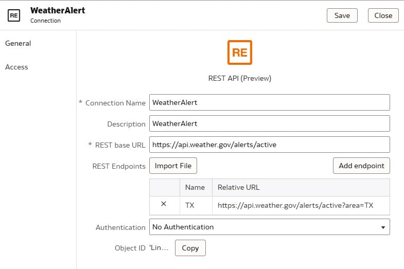
This data visualization pulls weather information from multiple API's that are transformed and caategorized into Severe Weather conditional formatting. Active Fires are also pulled in and geometric distance calculations comparing fire Lon and Lat vs transmission line structure Lon and Lat are used to alert local agencies of impending line outages or asset emergency. A venn diagram is used to distinguish local counties that have one or multiple occurences of severe weather. A looping .gif file is used to display current radar conditions. 🔆