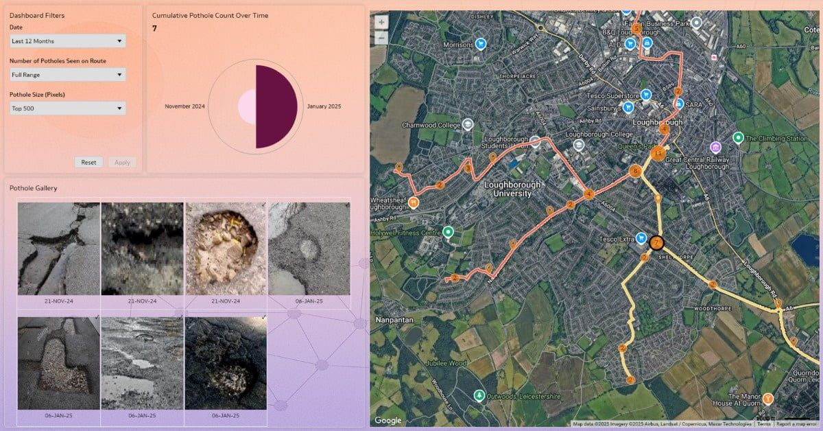
This Geospatial Road Condition Analysis dashboard showcases how Oracle Analytics can transform how organizations, public and private—analyze and maintain road networks. Using an AI Vision model running on edge devices, pothole data is automatically collected, stored in Oracle Autonomous Database, and visualized through #OAC to reveal real-time insights into infrastructure conditions.
Learn more about the Viz - Geospatial Road Condition Analysis dashboard
Thanks @Rory Lee for this beautiful and detail-oriented viz!
Submit your own Data Viz to get featured in #VizOfTheWeek - Data Visualization Gallery
