Categories
Interactive Maps in Oracle BI

Good day,
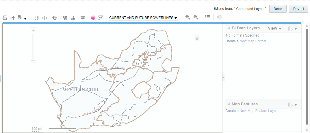
We are currently developing a map as a solution for business.
The map has been developed in map builder and the map layers have been added. However, when we publish the map in BI it is static when we filter per project (coordinates latitude, and longitude). How do we make the map interactive with the project data?
Or rather how do we define that integration that the map must respond when prompted?
Best Answer
-
Hi @Sisanda ,
You are looking in the wrong place. Custom Point Layer is not a view type, but something that you can apply on the top of an existing Map view.
Please follow this step-by-step process:
- Add a Map view in the Results tab
- Click on the Edit view icon (pencil) to open the layout editor for your Map view
- Click on the link (or the icon) to create a new map format located at the right of the page
- Select a format that supports point features (e.g. bubble or variable shapes)
- Select Custom Point Layer
0
Answers
-
Hi @Sisanda ,
I suppose that you already imported the background map and the layers in OBIEE using the Manage Map Data page, and that you are trying to create an analysis to display features on a map based on latitude and longitude, am I correct?
If so, you have to edit the map view in your analysis editor, create a new map format (e.g. bubble or variable shapes) and select the Custom Point Layer which allows you to specify which business columns to use as Longitude and Latitude.
0 -
Hi Federico,
I suppose that you already imported the background map and the layers in OBIEE using the Manage Map Data page, and that you are trying to create an analysis to display features on a map based on latitude and longitude, am I correct? - (The answer is yes)
If so, you have to edit the map view in your analysis editor, create a new map format (e.g. bubble or variable shapes) and select the Custom Point Layer which allows you to specify which business columns to use as Longitude and Latitude. - Where can we define a custom point layer? Is there a guide we can follow or a screenshot to guide us?
Thank you
0 -
Hi @Sisanda ,
You can define a custom point layer directly in the analysis editor (Results tab). When you add a new map format to a map view, the option Custom Point Layer is displayed by default when the selected map format supports point features.
0 -
It looks like I don't have that option, I'm on the results tab
0 -
Hi Federico,
The application is not allowing us to edit, the map is just greyed out. Is it our privileges?
0 -
Hi @Sisanda ,
From the blue bar on the top it looks like the system is trying to loading something. Did you add longitude and latitude columns and a measure in your Criteria tab?
0 -
Yes we have, the blue bar runs but nothing loads.
But you have answered our question
Thank you so much
0 -
Great collaboration here, @Sisanda , please mark the accepted answer(s). It helps future searchers and other community memebers.
1